What's the Snow and Weather Forecast for Tahoe? Let it snow ...
Let it Snow, Let it Snow, Let it Snow ... in Tahoe!
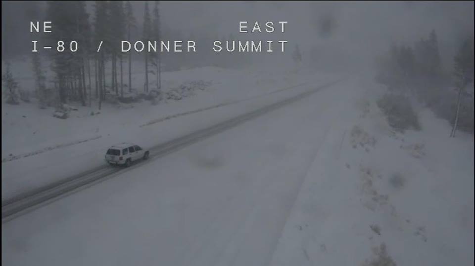
As of this moment, the weather outside is almost frightful yet the predicted results should be delightful for all who enjoy white and wonderful holidays in Lake Tahoe.
Although we have heard and read a variety of snow reports, we always rely on Joel Gratz from OpenSnow.com to predict what's ahead for the Lake Tahoe region.
No need for us to decipher the info when i can offer it to you from his column right here:
The next storm is set to move in by this afternoon. This storm looks to start warm with high elevation snow above 8,000 feet, then falling snow levels to 7,000 feet Tuesday afternoon. Expecting light snowfall amounts of 1-2inches on the mountains above 8,000 feet. -
A second wave Wednesday could drop 3-8 inches of snow above 7,000 feet. - A colder and stronger storm looks like it could be right on the heels of the first. We could see heavier snowfall move in Wednesday night into Thursday before moving out Thursday night. This storm could drop 8-18 inches on the mountains above 7,000 feet.
We could see another cold storm move through on Saturday bringing a final 6-12 inches of snow. - We are expecting drier weather the first week of December starting the 2nd, but then a stormier pattern the 2nd week of December starting the 8th.
Book Your Winter Vacation Rentals at Tahoe Now!
With the world chomping' at the bit to get their skis and snowboard packed and headed to the High Sierra, we're encouraging everyone to book their mountain home rental, cabin rental, or lakefront estate for their vacation get-away this holiday season.
At Sun Bear Realty and Vacation Rentals in Incline Village and Crystal Bay, we have one of the largest inventories of vacation rentals at Lake Tahoe. Click here to see the options or call us for our personal insight at 888.686.5253.
We look forward to seeing you this Christmas season, and throughout what let's hope will be a white and wonderful ski season ahead!


 Market Stats
 Listing Watch
 My Home Valuation